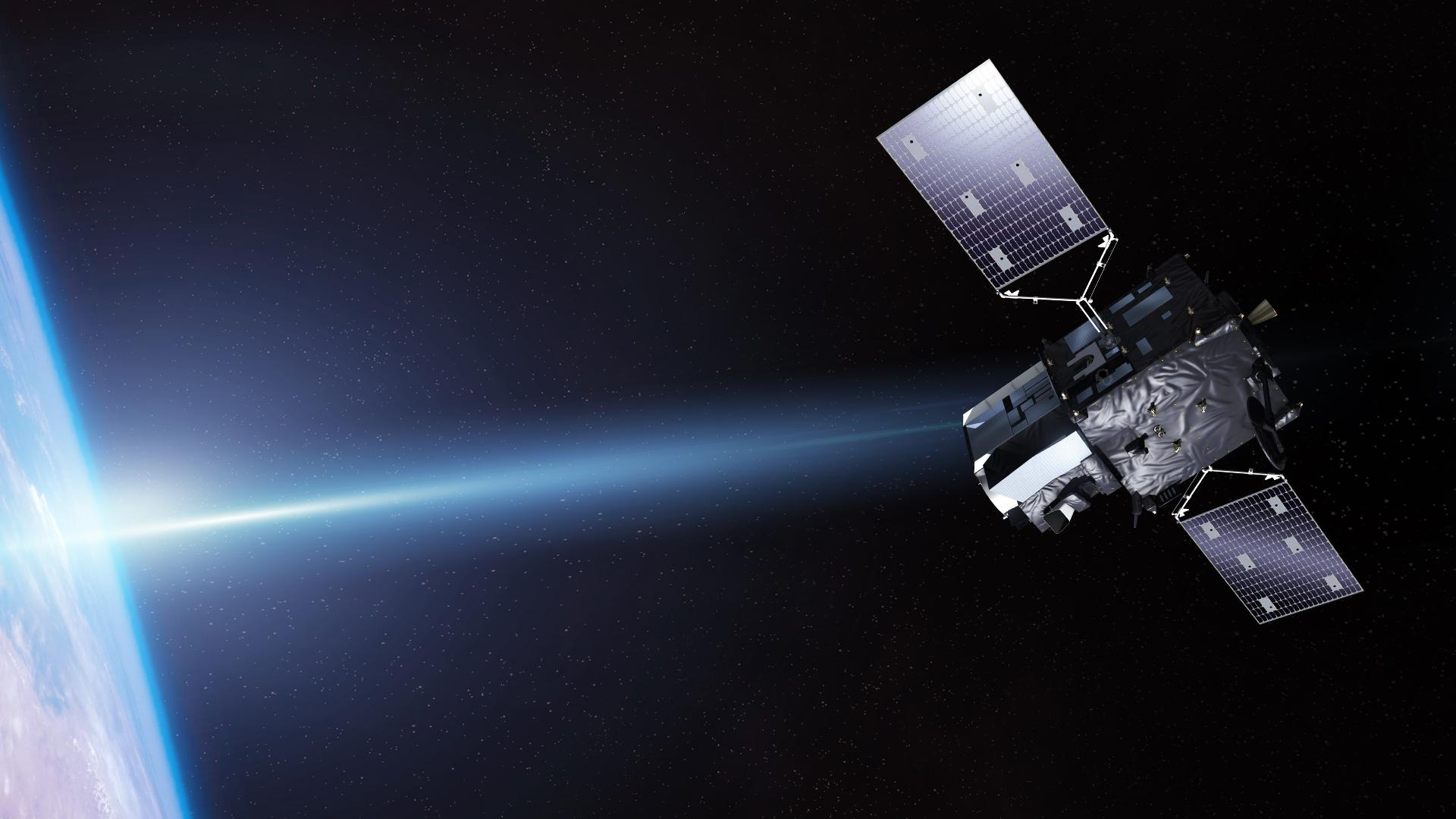
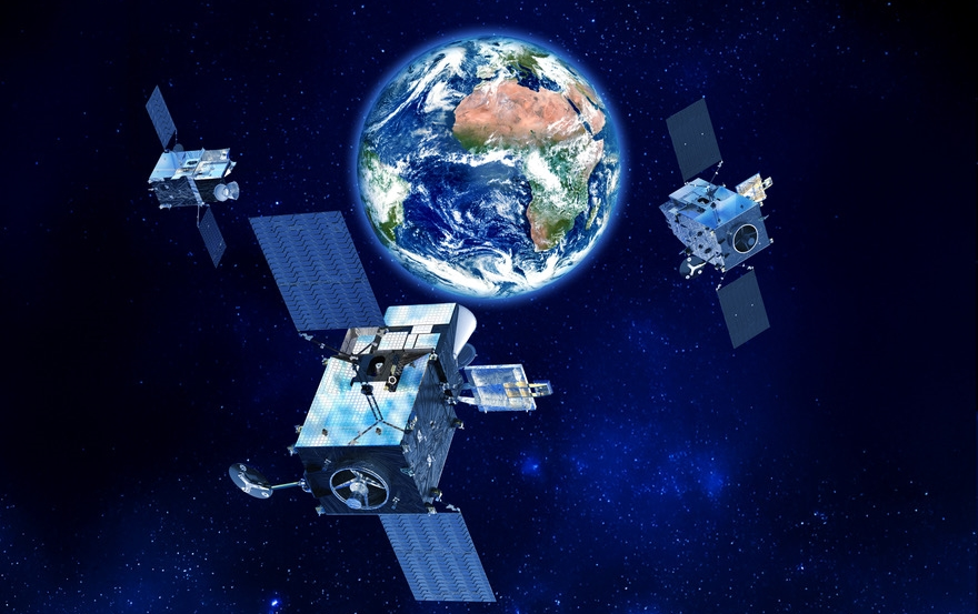
MTG–I2 (Meteosat Third Generation–Imager 2) is the third satellite of the new generation of the European Meteosat Third Generation (MTG) system and comes to significantly enhance the weather observation and forecasting capabilities in Europe and Africa.
After establishing communication with the ground control stations, it was confirmed that MTG-I2 is in good condition and operating normally, paving the way for the next phase of its mission: the control, calibration and then the exploitation of its scientific instruments.
Much more data, much greater detail
The MTG series was designed to offer a significant leap in the capabilities of European geostationary meteorological satellites. Unlike the previous generation of Meteosat, the new space-based remote sensing and observation instruments have sensors with higher spatial and temporal resolution, allowing meteorologists to monitor the evolution of weather systems in much greater detail.
MTG-I2 belongs to the MTG–I (Imager) family and is based on the platform developed by OHB and Thales Alenia Space, with significant European industrial participation.
Its main subsystem is the Flexible Combined Imager (FCI), an advanced multispectral imager that observes the Earth in 16 spectral regions, from the visible to the infrared.
This capability is of enormous importance for meteorology as different wavelengths allow the detection of different characteristics of the atmosphere, clouds, surface and moisture.
Images every 10 minutes
One of the most important advantages of the new generation is the speed with which the image of the atmosphere can be updated.
The FCI can provide full images of the hemisphere with a time step of the order of 10 minutes, while in high-resolution modes it can focus on smaller areas and provide even more frequent observations.
The higher observation frequency is particularly important for fast-moving phenomena, such as a powerful storm that can change significantly in intensity and extent within a few minutes. Continuous satellite monitoring allows meteorologists to detect these changes earlier.
Detecting storms before they develop
MTG-I2 can contribute to the early identification of the characteristics that precede the development of severe storms.
More detailed monitoring of cloud development allows meteorologists to detect:
- rapid vertical cloud development,
- severe thunderstorms,
- storm systems,
- heavy rainfall,
- possible hail,
- strong winds,
- and other dangerous meteorological phenomena.
The advantage is not only that the meteorologist “sees” the storm better, but the satellite data feeds numerical forecast models and nowcasting systems, improving the ability to predict the evolution of a phenomenon in the coming hours.
From floods to heat waves
The value of MTG-I2 is not limited to storms.
Its data can be used to monitor a wide variety of phenomena, such as heat waves, fires, dust, fog, snowfall and flooding.
Of particular importance is the ability to detect and monitor fires. Infrared channels can detect hot spots on the surface and monitor the development of large fires, while frequent image updates allow monitoring their spread.
For a Europe that is increasingly facing extreme episodes of high temperatures and large forest fires, this capability is of particular operational importance.
The geostationary advantage
MTG-I2 will operate from a geostationary orbit, about 36,000 km above the equator. From this position it can continuously monitor the same large area of the Earth.
This differentiates it from polar sun-synchronous meteorological satellites, which usually offer higher spatial resolution but do not remain over the same area continuously.
MTGs therefore act as a kind of space-based continuous atmospheric monitoring system.
For Europe and Africa this means that meteorologists can monitor the evolution of a weather system from the moment it begins to form in the Atlantic or North Africa until it enters Europe.
System of systems
MTG-I2 is part of a much larger system. Meteosat Third Generation consists of different types of satellites, with MTG–I focusing on imaging and MTG–S (Sounder) providing vertical profiles of the atmosphere.
The combined operation of the two categories creates a much more complete picture of the atmosphere.
Sounder satellites in particular offer information on the distribution of temperature and humidity at different heights, which is extremely important for the forecasting of severe storms and other dangerous phenomena.
Thus, MTG is not just a new series of satellites but a comprehensive European atmospheric observation system.
A critical link for civil protection
The operational importance of these data goes beyond meteorological forecasting, since the earlier a dangerous phenomenon is detected, the more time civil protection services have to react.
In extreme events, even a few minutes of extra warning can have significant operational value.